


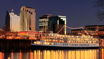


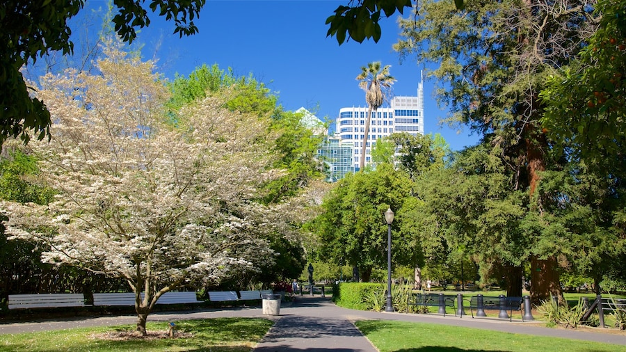
What's Poverty Ridge Like?
If you're in search of the perfect part of the city to explore, look no further than Poverty Ridge. In the larger area, you'll find top places to visit like Golden 1 Center. California Highway Patrol Headquarters and Sutter's Fort State Historic Park are two places to visit nearby.
How to Get to Poverty Ridge
Flying to:
- Sacramento Intl. Airport (SMF), 10.7 mi (17.2 km) from Poverty Ridge
Things to See and Do in and around Poverty Ridge
Things to See near Poverty Ridge:
- Golden 1 Center (1.5 mi/2.3 km away)
- California Highway Patrol Headquarters (0.5 mi/0.8 km away)
- Sutter's Fort State Historic Park (0.8 mi/1.3 km away)
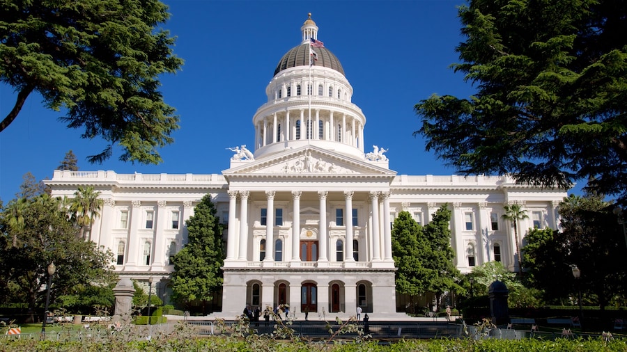
- California State Capitol (1 mi/1.7 km away)
- Sacramento Convention Center (1.1 mi/1.7 km away)
Things to Do near Poverty Ridge:
- Memorial Auditorium (1 mi/1.7 km away)
- California State Capitol Museum (1 mi/1.7 km away)
- K Street Mall (1.2 mi/1.9 km away)
- Downtown Commons (1.6 mi/2.5 km away)
- Crocker Art Museum (1.6 mi/2.5 km away)
When Is the Best Time to Visit Sacramento?
- Hottest months: July, August, September, June (average 76°F)
- Coldest months: January, December, February, March (average 50°F)
- Rainiest months: December, January, March, February (average 4 inches of rainfall)